
Welcome to the GIS 520 - Advanced Geospatial Analytics Portfolio Homepage

This is a graduate level course offered through North Carolina State University. Its focus is on applied geospatial technology using analytics. Students enhance geoprocessing skills and understanding of the analysis capabilities of geospatial technology, learn to integrate and analyze spatial data in various formats, and explore methods for displaying geographic data analysis results in decision support and modeling systems. This was accomplished through weekly assignments provided to both in-person and distance education students using ArcGIS for Desktop 10 software. The following learning objectives were provided for this course:
- Describe the analysis capabilities of different geospatial technologies
- Select and perform appropriate advanced geoprocessing functions for specific objectives outlined below
- Integrate and analyze data in various formats
- Identify data limitations for particular analytical applications
- Apply appropriate analysis techniques for multiple types of decision-making objectives
- Search for, retrieve, evaluate the suitability of, and integrate datasets for specific types of analysis applications
- Design pre-programmed customizations for the user interface
This website serves as part of a graduate portfolio for, and designed by, the student for the Spring 2012 semester.
Topic |
Preview |
Learning Objectives |
| Turning Data Into Information Using ArcGIS (an ESRI Tutorial) |
|
|
| Web Maps & GIS Services | 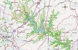 |
|
| Geocoding Tabular Data | 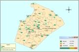 |
|
| AutoCAD Integration | 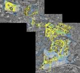 |
|
| Data Cardinality | 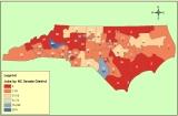 |
|
| Working with US Census Data | 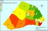 |
|
| Linear Referencing | 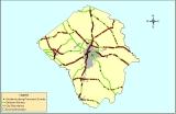 |
|
| The Basics of Working with Raster Data (ESRI tutorials) |
|
|
| Suitability Analysis & Weighted Overlay (using Model Builder) | 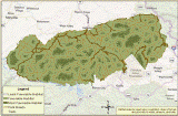 |
|
| Image Classification | 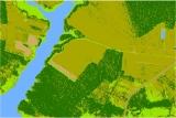 |
|
| Spatial Statistics | 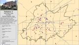 |
|
| Customizing the ArcMap Interface |  |
|